


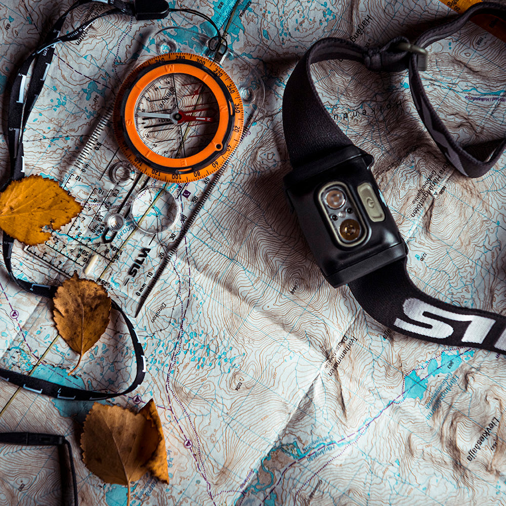

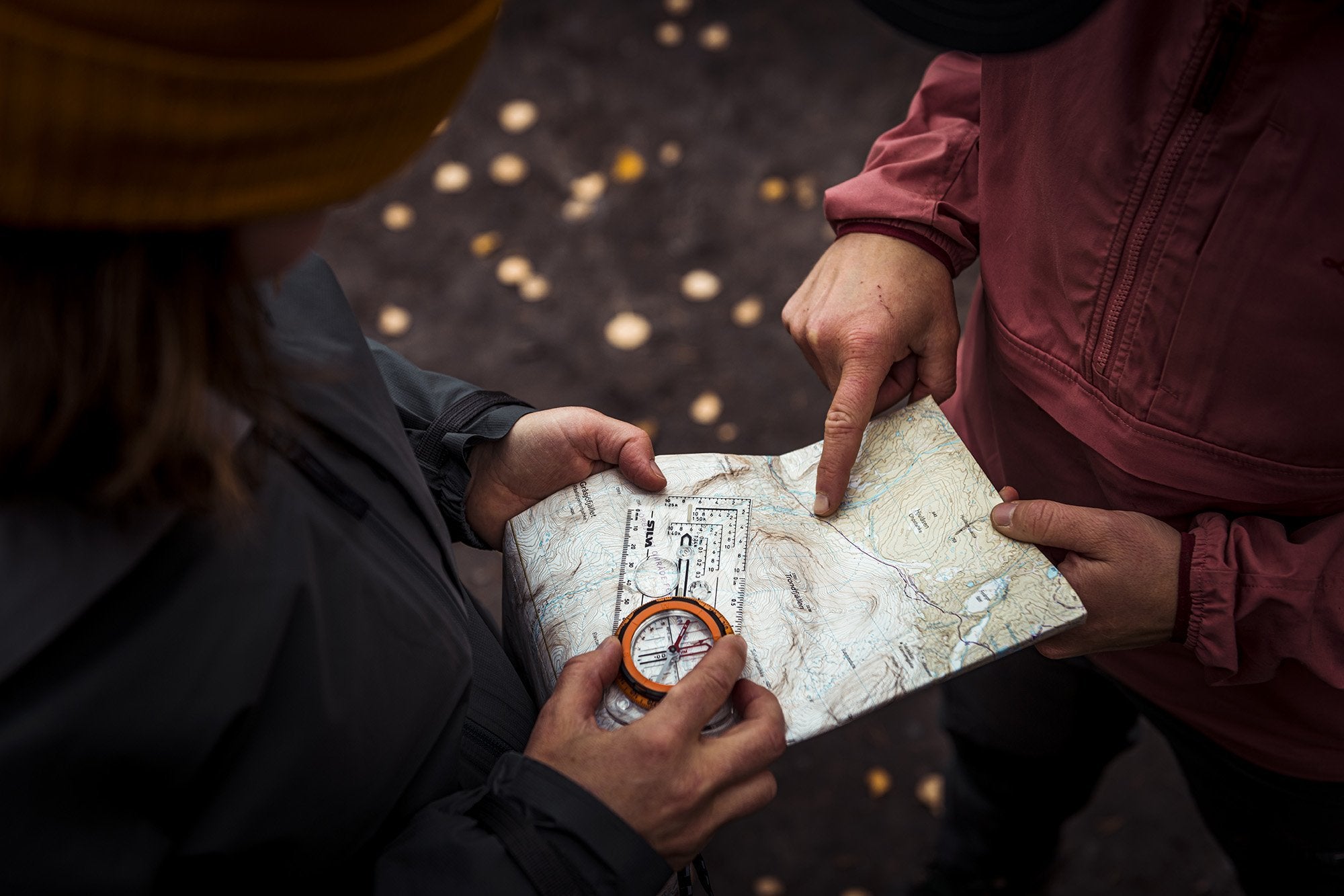
LEARN TO READ THE MAP
Review of the basic skills
Being able to interpret the terrain is important when planning your adventure – or when you're in the middle of it. Here's the basic knowledge you need.
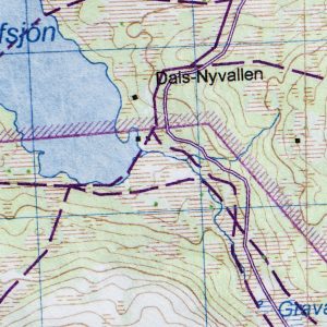
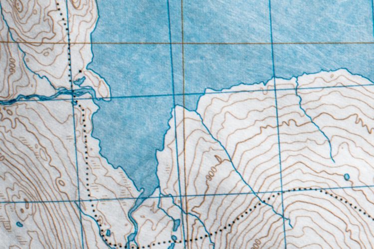
COLOR CODES
Topographic maps are color-coded: blue for water, white for open terrain, green for forest, black for roads, trails, buildings, and other things created by us humans.
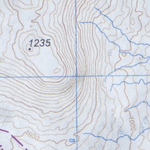
CONTOUR LINES
The contour lines represent the topography or vertical shape of the landscape and help you identify, for example, mountains, valleys or ridges; the tighter the lines, the steeper the terrain.
LOCAL DEVIATIONS
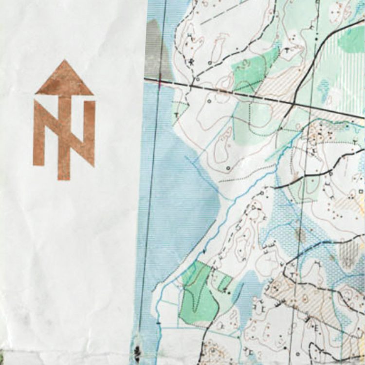
North is always up – on all maps. However, there are other symbols and features that will depend on where you are in the world.
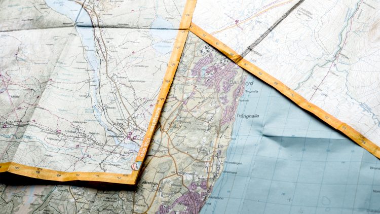
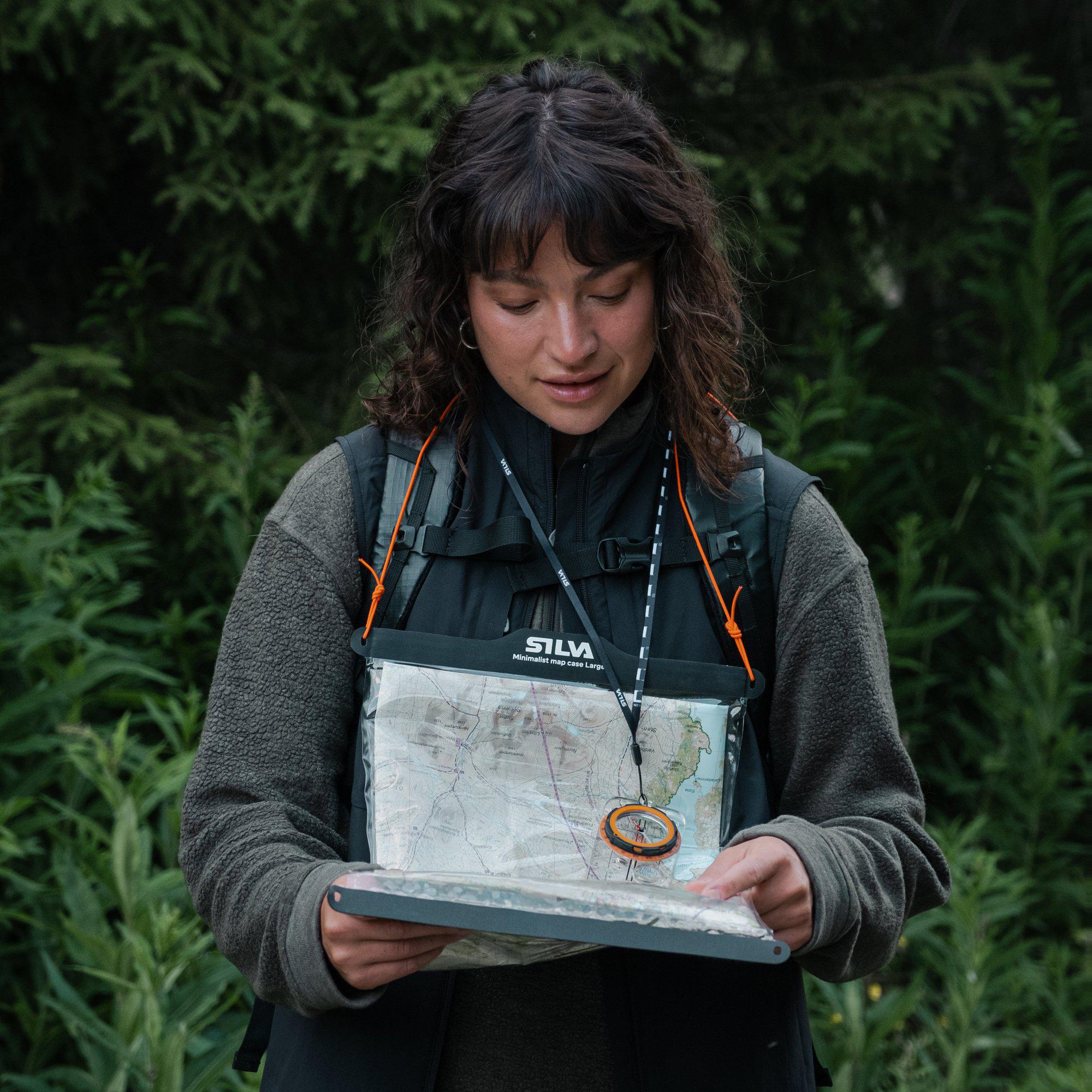
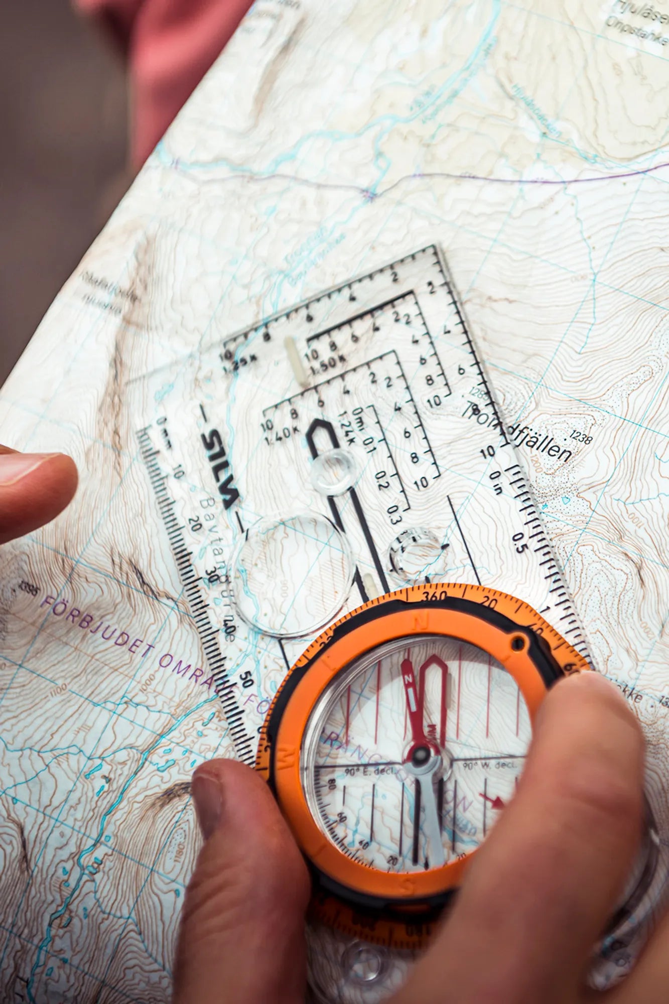
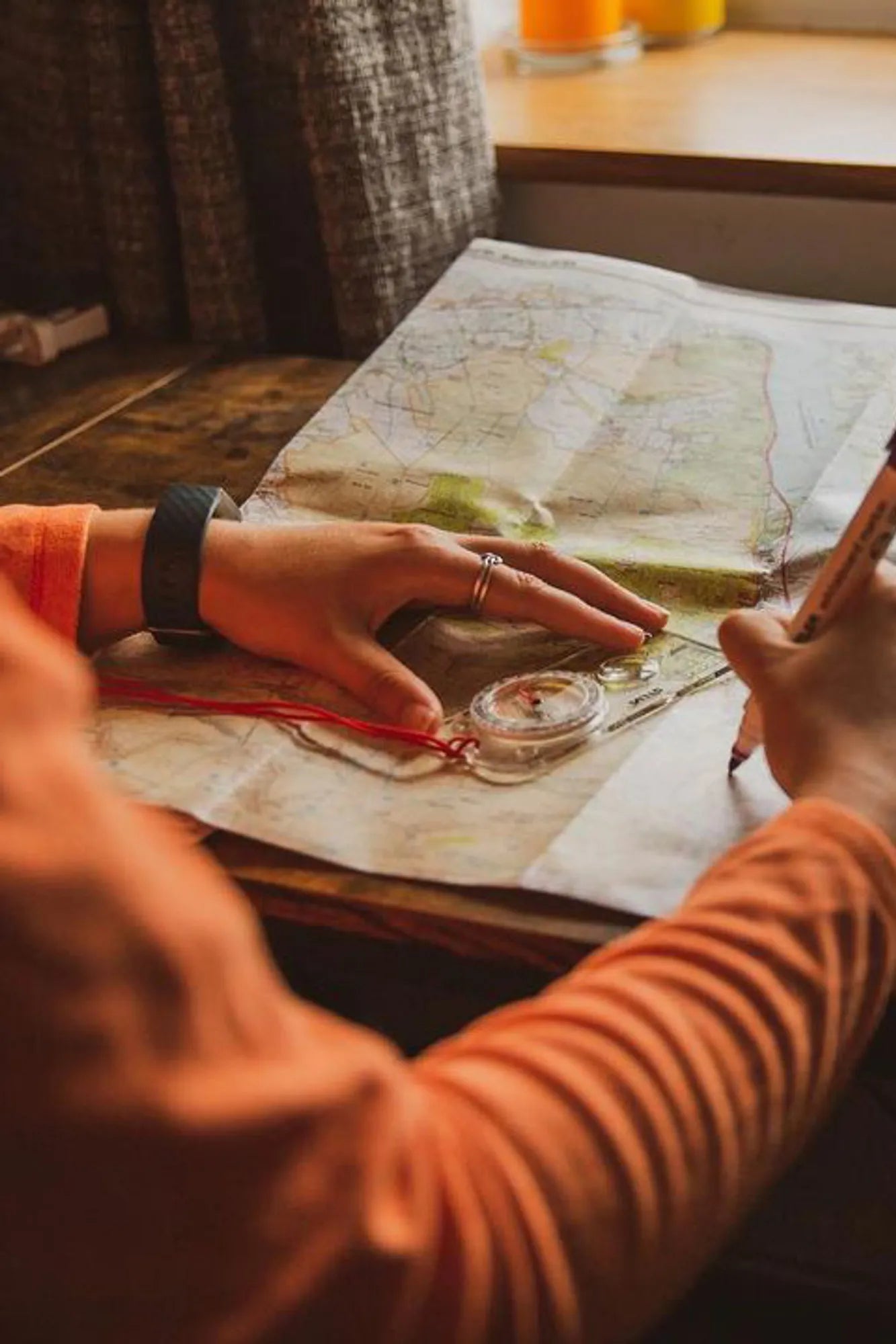
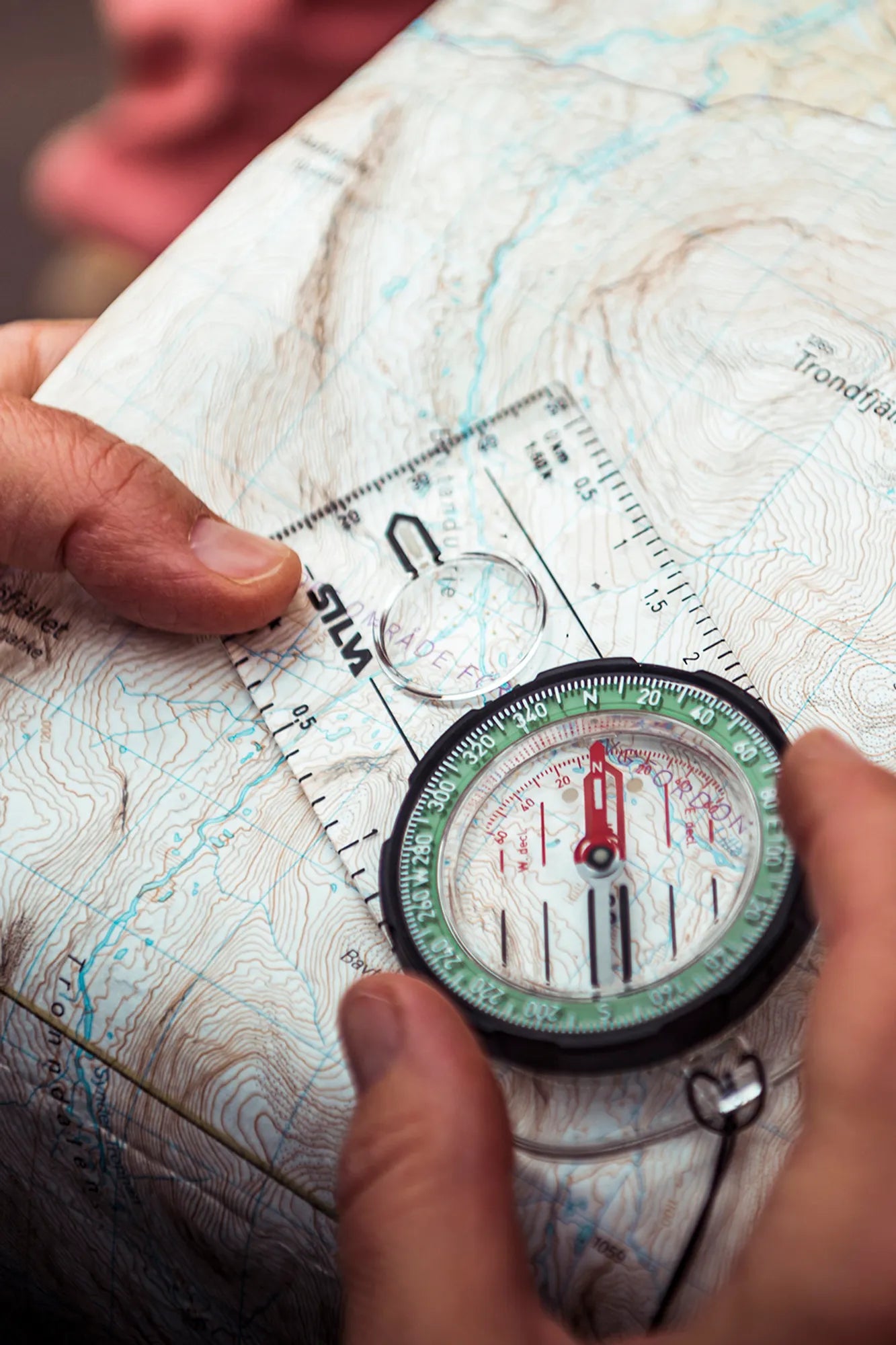
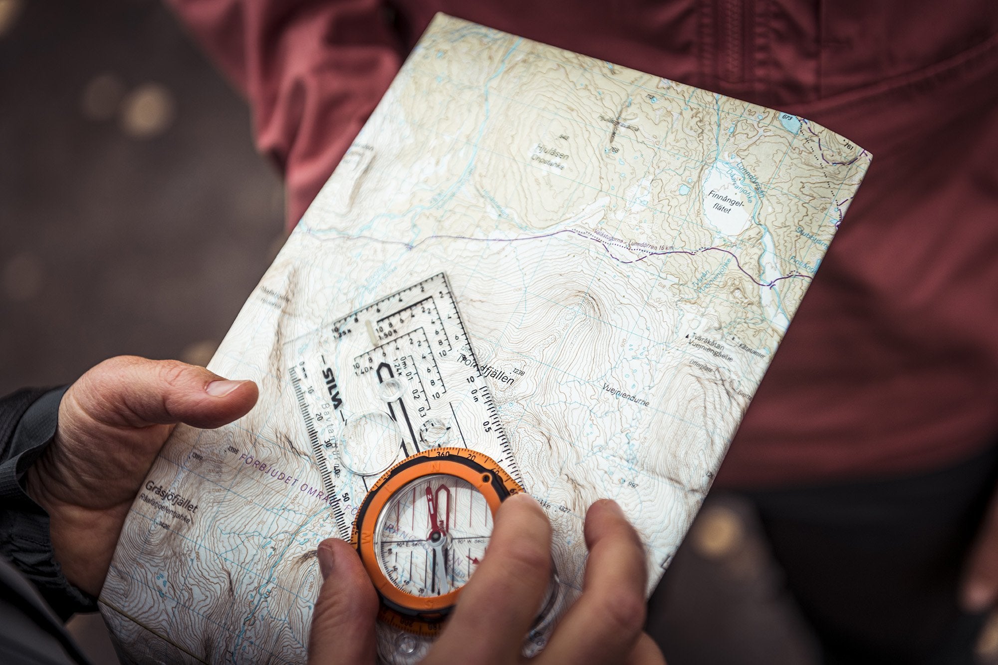
USE THE MAP TO MEASURE DISTANCES
A map is a minimized version of reality, so it is important to understand how it represents distance. Measure the distance with the ruler of your compass and take into account the scale of the map.
If your compass does not have the corresponding scale on the ruler as the map, you can use the regular ruler on the compass and this simple rule: remove the last three numbers on the scale to know how many meters 1 mm on the map represents. That is, if your map is 1:50,000, then 1 mm on the scale represents 50 meters in reality.
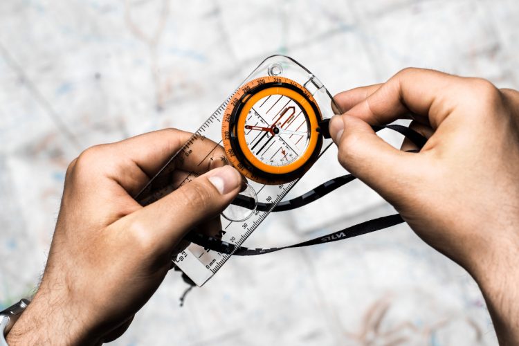
ORIENT THE MAP TO THE NORTH
The easiest way to use a map and compass together is to turn and orient the map to north. Align so that the meridians on the map line up with the compass needle so that "up" on the map also points north. Now everything on the map is in the same direction as the terrain in front of your feet. Remember to always check where you are on the map when you're out hiking, running or, for example, paddling. By keeping track continuously, it is easy to follow your route; when you turn right on the map, you will also turn right in reality. Navigating with a map is quick and easy and the best way to avoid getting lost on your adventure.
USE OBJECTS IN THE TERRAIN WHEN NAVIGATING
Keep track of your direction by taking note of visible objects in the terrain along the way. For example. streams, lakes, hills, meadows, paths, roads or power lines. By keeping track of the objects, you will find your way around and find the right place faster.
THERE ARE TWO NORTH POLES
There are two north poles. One of them is the geographic North Pole; the point on whose axis the earth rotates. The other is the north pole is the magnetic north pole where all compass needles point.
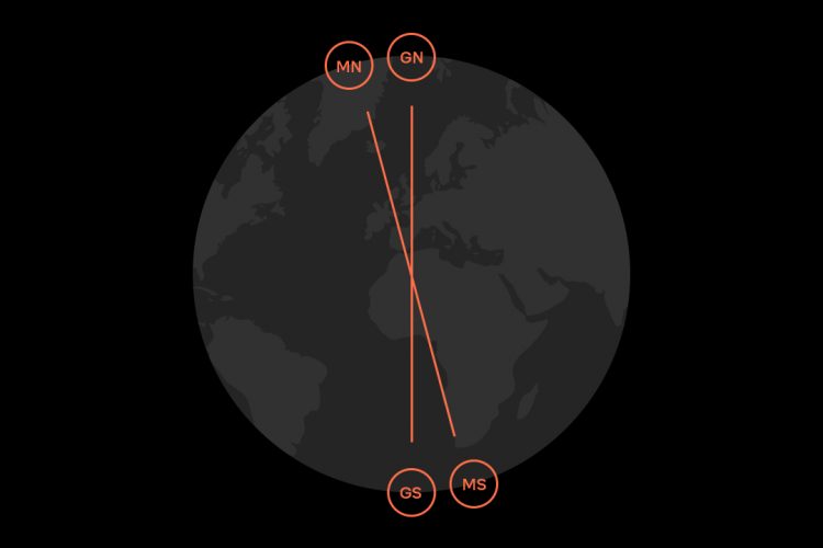
.. ONE OF THEM IS SPINNING
Between the magnetic north pole and the magnetic south pole runs the magnetic field that lies over the entire earth. There are many sources of magnetic activity around – and on – our planet and these magnetic fields are created by magnetic elements in the Earth's liquid outer core. This melting rock is not perfectly level at the axis around which the Earth spins. All these factors together create a south pole and a north pole and although the force towards the north varies where you are in the world, the force towards the north will always point towards the north.
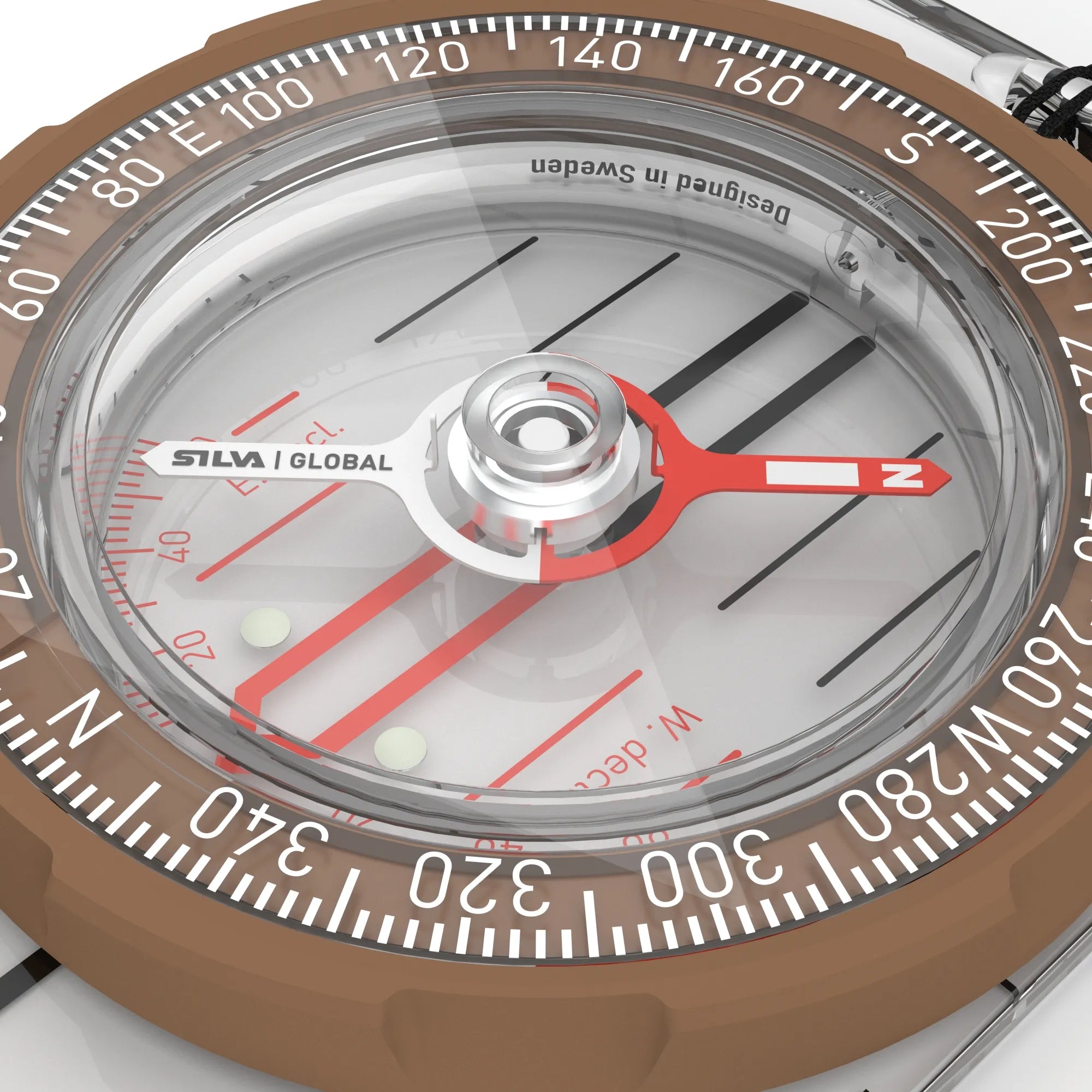
MAGNETIC DECLINATION
The difference between the geographic north pole and the magnetic north pole is called magnetic declination – or just declination. This is important to take into account when navigating with a map and compass.
CHANGES ALL THE TIME
Depending on where in the world you are, the angle of declination will be different. From some places the declination between the geographic and magnetic north poles is minimal, but from other places the angle between the two north poles can be greater. When you are in places with greater declination, you have to adjust to be able to take out a correct direction. The declination changes a little every year, which means that an old map can give rise to several degrees of incorrect navigation, so it is important that you use an updated map from where you are.
DECLINATION ADJUSTMENT
Most Silva compasses have a fixed declination scale in the compass housing to simplify the calculations required to adjust for declination.
In some of the compasses there is a small screwdriver in the neck strap locking assembly, use it to make a permanent adjustment.
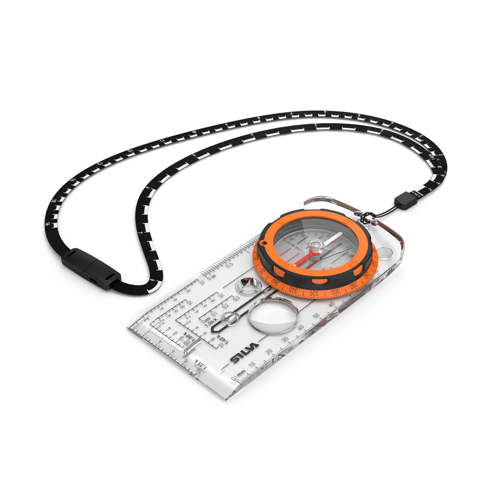
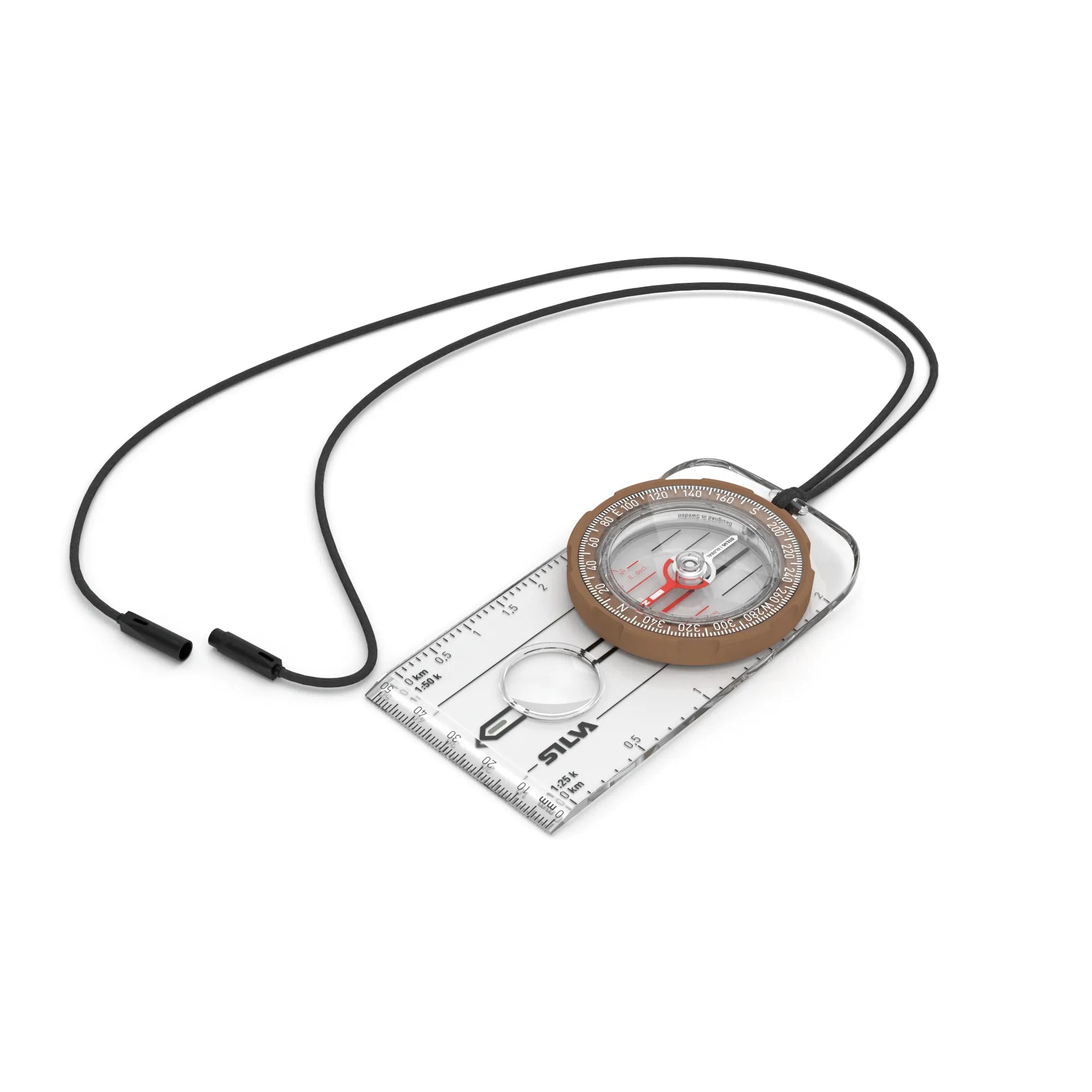
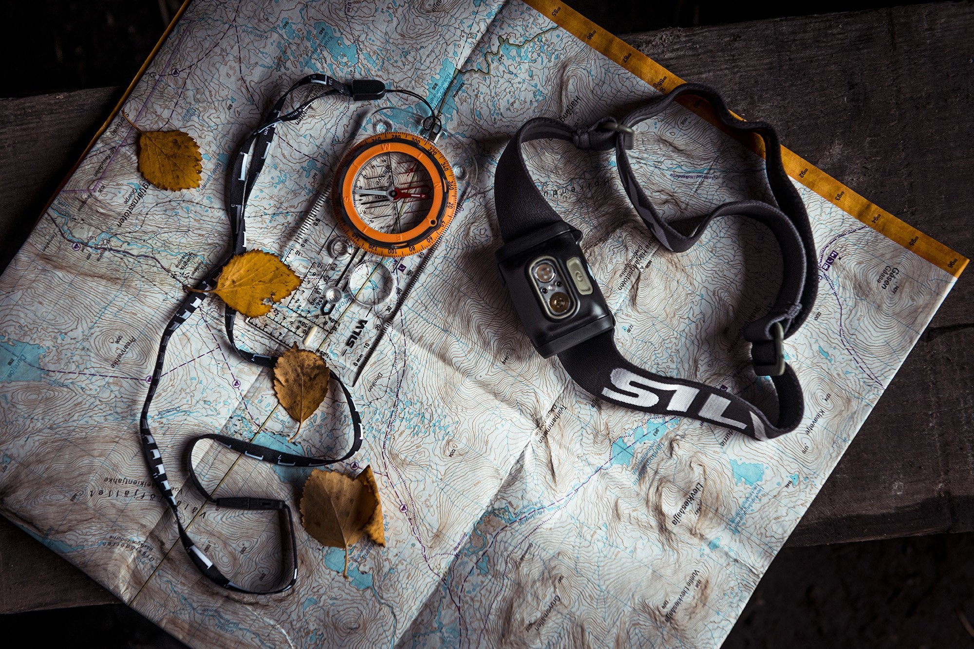
FIND YOUR COMPASS
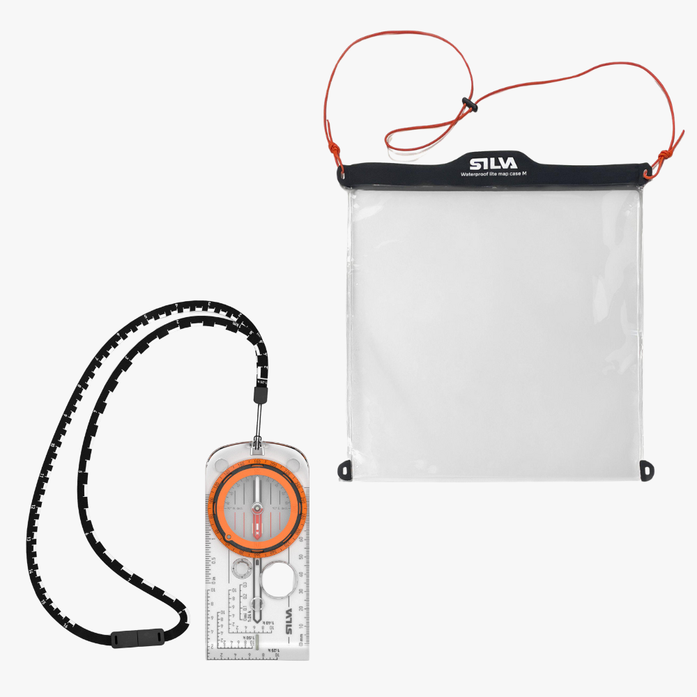
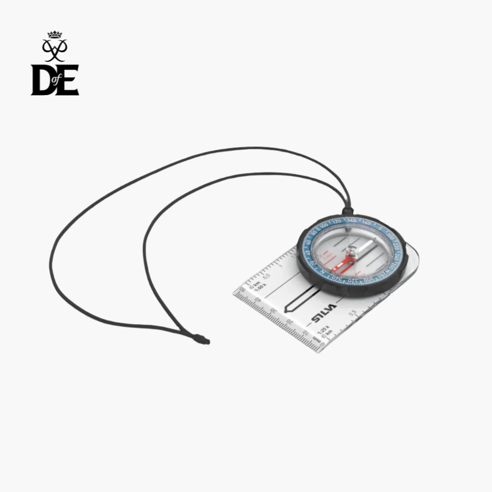
Map case is included for free


There is always more to discover
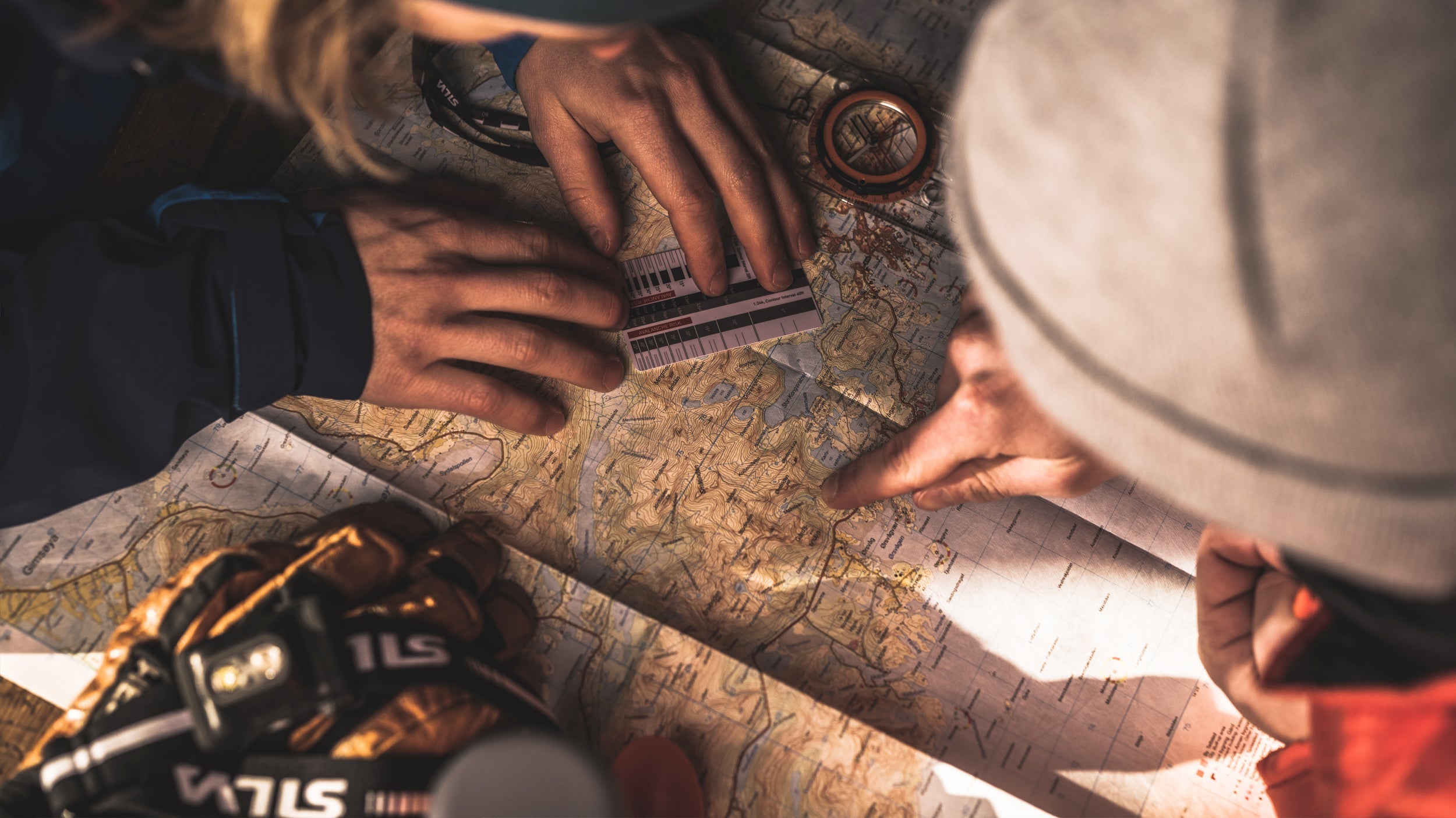
Navigating with a map and a compass is as easy as 1-2-3. But there are a few things to learn before heading out.
Besides learning how to navigate the easy Silva 1-2-3 way it is also useful to know the basics of compasses.
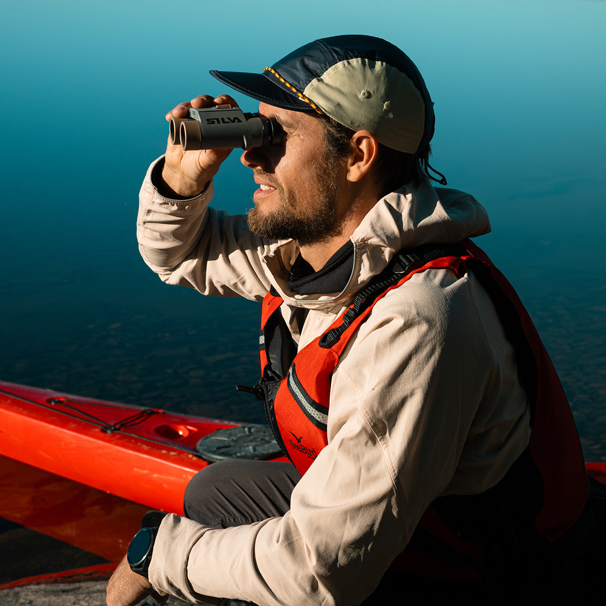
From beginner to expert, find the compass best suited for your needs.
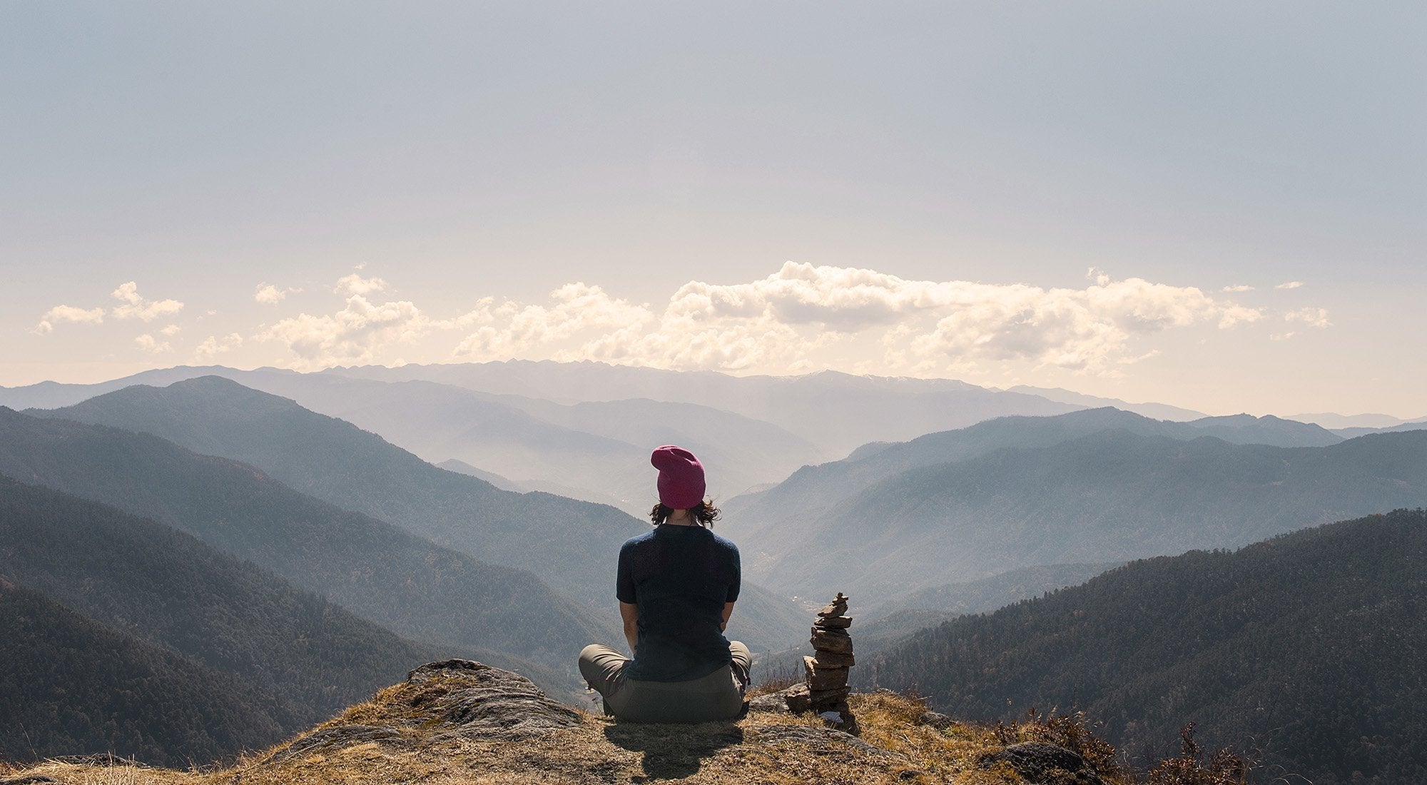
Knowing the terrain is key when planning your adventure – or when you are right in it.
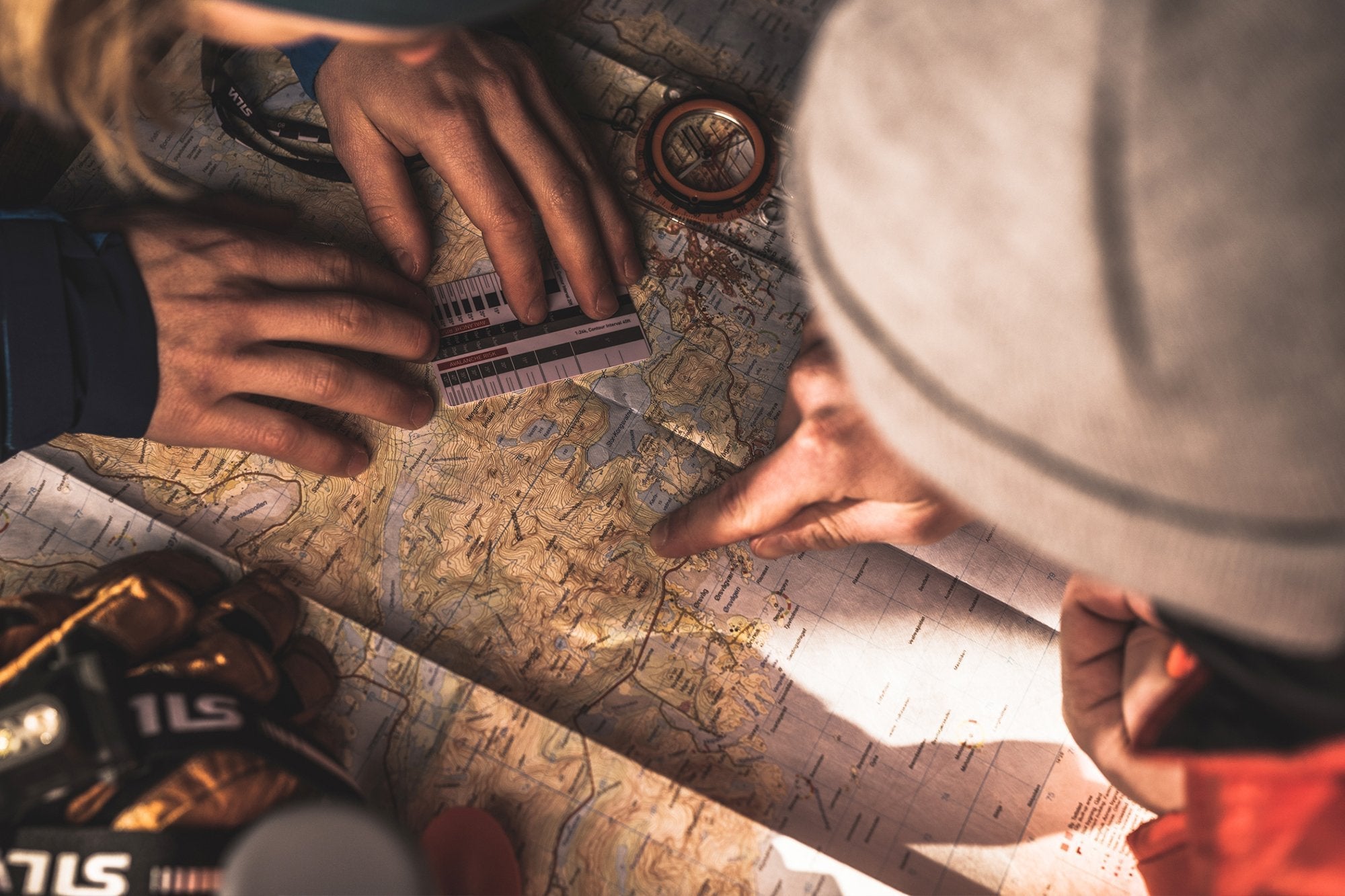
When heading out for a hike in an unknown environment, details and preparations are crucial.
Are you in the right place
Please select your store